Lecture Notes for Clarke, K. C. Analytical and Computer Cartography
Lecture 4: Geocoding
"GEOCODING is the conversion of spatial information into computer-readable form. As
such, geocoding, both the process and the concepts involved, determines
the type, scale, accuracy and precision of digital maps." (Clarke, p. 49)
Geocoding and Computer Cartography
- Real World broken into phenomena, landscapes
- Phenomena can be broken down into cartographic entities
- Entities are geocoded to become objects
- Geocoding is often a central mapping agency responsibility
- Especially for the base reference layers
- Can geocode geometry and topology
- Attribute encoding important too
Characteristics of Geographic Data
- Location
- Volume
- Dimension (Point, Line, Area, Volume) also Level of Measurment (Nominal,
Ordinal, Interval, Ratio)
- Continuity (Feature vs. Field)
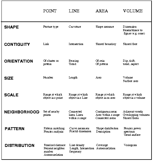
Fundamental Properties of Geographic Objects
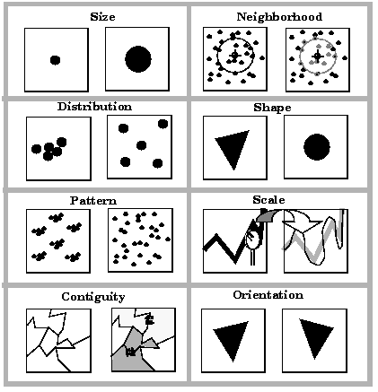
- Size
- Distribution
- Pattern
- Contiguity
- Neighborhood
- Shape
- Scale
- Orientation
- Measurement and Fundamental Properties (Fig. 4.5)
Goals of Geocoding Methods
- Minimize Labor Input
- Detect and Eliminate Errors
- Optimize Storage Efficiency
- Maximize Flexibility
Locational Geocodes
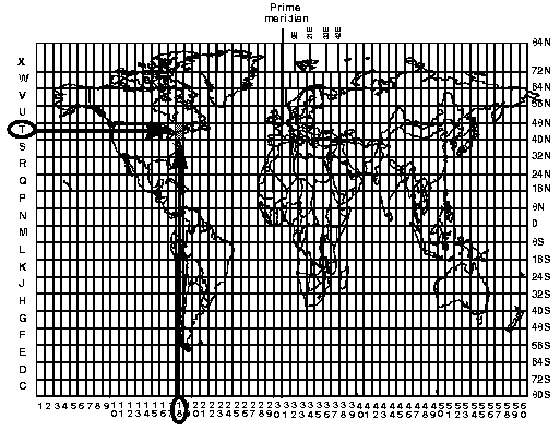
- Geographic Coordinates (Lat Long DDD.MMSS or DDD.DDDD)
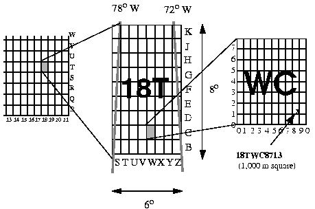
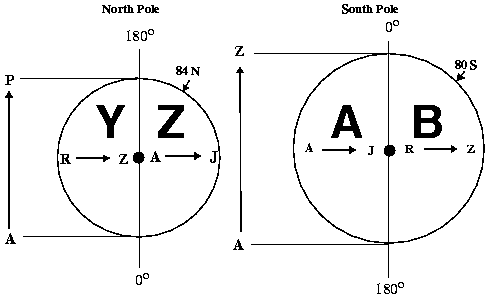
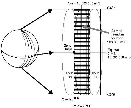
- The UTM Coordinate System
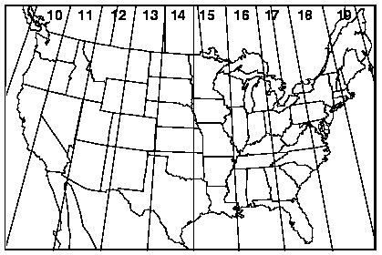
- UTM Zones and Coordinates
- The State Plane Coordinate System
- Other Systems
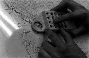
Geocoding Methods
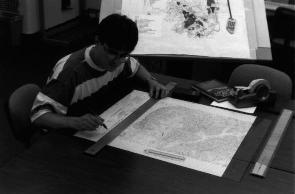
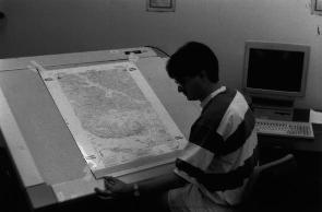
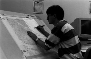
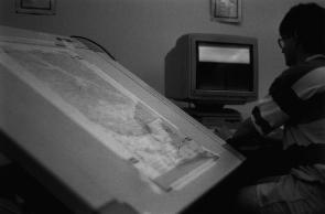
- Semi-Automated Digitizing
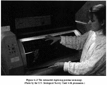
- Automated Digitizing (Scanning)
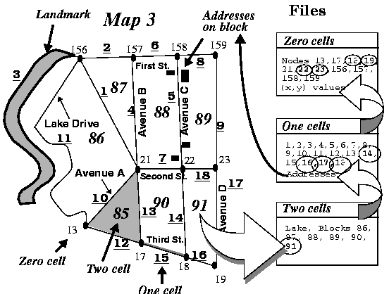
Topological Geocoding
- Evolution of Topology using the Census Bureau's Data as an Example
- Address Coding Guide (1967)
- Led to 1970 use of DIME/GBF system
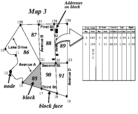
- Extended to all SMSAs in 1980
- For 1990, Replaced with TIGER system
- For 2000 will become TIGER/SDTS
Keith C. Clarke Last Update 4/10/97 Copyright Prentice Hall (1995)