|
America's
First Satellite Surveillance
|
|
|
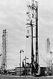
 Launch... |
by special planes. |
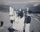 High speed movie cameras mounted on anti-aircraft used for tracking launches. |
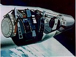
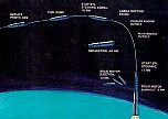 orbital operations,... |
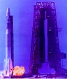
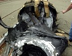
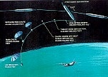 reentry,... |
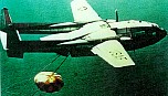 and recovery. |
 The first 13 missions didn't provide any images. There were problems with
everything - heart-breaking failures.
The first 13 missions didn't provide any images. There were problems with
everything - heart-breaking failures. |
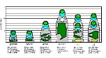
||||||||||
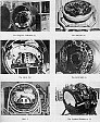 KH-1 through 4, Argon and Lanyard cameras. |
 |
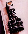 KH-4B camera on display at the CIA History Office. |
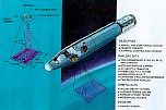
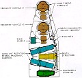 Schematic of KH-4B camera and film spools. |
|
 |
 |
|
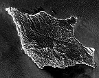 Corona image of Santa Rosa Island, Channel Islands, California. |
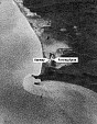
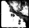 Argon image of the Santa Barbara Channel, California. |
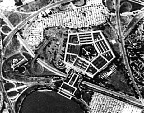
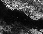 1966 image of the South Coast, Goleta and Santa Barbara, California. |