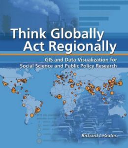
Think Globally, Act Regionally: GIS And Data Visualization For Social Science And Public Policy Research - GIS and Data Visualization for Social Science and Public Policy Research - Richard LeGates, Richard T. LeGates (2005)
ISBN 9781589481244
Subject Computer graphics; Geographic information systems; Information visualization; Regional planning; Regional planning - Data processing; Urban ecology - Data processing; Urban geography - Data processing; Urban policy - Data processing
Publisher ESRI Press
Publication Date 7/28/2005
Format Paperback (231 x 203 mm)
Language eng
Plot
Giving social scientists and students a solid introduction to Geographical Information Systems (GIS), this study focuses on some of society's most pressing issues, including growth, pollution, and economic development. By calling upon such high-end analytical tools as Global Positioning System navigation and satellite imagery, GIS can be a critical tool in examining social problems. This study encourages readers to be visionary and even utopian in imagining better urban futures by concentrating on three related topics—urbanization, conflicts between natural and built environments, and regional equity. The introductory and spatial analysis chapters expand this understanding so that readers see both urban problems and urban opportunities more clearly.
Personal Details
Collection Status In Collection
Location 3,1
Index 521
Read It Yes
User Lookup 1
Links Amazon US
Barnes & Noble
Amazon UK
Product Details
LoC Classification HT391.L45 2005
Dewey 307.1/2/0285
Edition 1st ed.
Cover Price $64.95
Nr of Pages 538