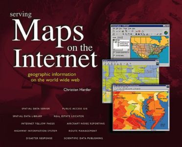
| Internet-based mapping applications are changing the way that people use and manage geographic information. Here are twelve fascinating case studies that reveal how public and private organizations from around the world use Web-based geographic information systems (GIS) to improve customer service, increase employee efficiency, and inform the community at large. Case studies include: U.S. Geological Survey, National Association of Realtors, Caltrans, National Ocean Service, Southern California Gas Company, Tantalus Communications, Minneapolis-St. Paul International Airport, Cabarrus County, North Carolina, Interrain Pacific, Telia InfoMedia, ArcData Online, and Edison International Easy-to-read and richly illustrated, Serving Maps on the Internet is a nontechnical introduction to the why and how of "map-enabled" Web sites. It's a must read for Web designers and organizations with Internet or intranet exposure. Bonus CD includes a full version of ESRI's easy-to-use ArcExplorer Software. Get quick access to geographic information via the Internet using the step-by-step tutorial. You also get hundreds of hot links to geographic information and related services on the World Wide Web. So buy this book and start taking advantage of all the information the Internet has to offer. Please read the Excerpt section of this page for more information. |
