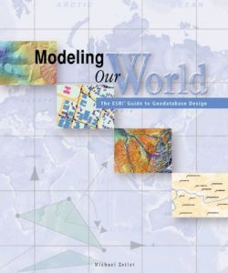
Modeling Our World: The ESRI Guide To Geodatabase Design - The ESRI Guide to Geodatabase Design - Michael Zeiler, Michael Zieler (2000)
ISBN 1879102625
Subject Digital mapping; Geographic information systems
Publisher ESRI Press
Publication Date 1/1/2000
Format Paperback (226 x 191 mm)
Language eng
Plot
Geographic data models are digital frameworks that describe the location and characteristics of things in the world around us. With a geographic information system, we can use these models as lenses to see, interpret, and analyze the infinite complexity of our natural and man-made environments. With the geodatabase, a new geographic data model introduced with ArcInfo 8, you can extend significantly the level of detail and range of accuracy with which you can model geographic reality in a database environment.
Personal Details
Collection Status In Collection
Quantity 3
Location 1,6
Index 172
Read It Yes
User Lookup 1
Links Amazon US
Barnes & Noble
Amazon UK
Amazon Canada
Product Details
LoC Classification G70.212.Z45 1999
Cover Price $29.95
Nr of Pages 200
Notes
Includes index.