LECTURE 6: OBJECT MODELING FOR TRANSPORTATION
1. GIS APPLICATIONS IN TRANSPORTATION
Among the earliest GIS applications
Chicago studies of the 1960s
data on journey to work from neighborhood to workplace
data on daily shopping, recreation trips
the origin-destination matrix
traffic analysis zones (TAZs)matrix as a class of objects
UML association class
attributes of pairs of features
migration table
distance matrix
turntable
spatially binary data
collections of polygons
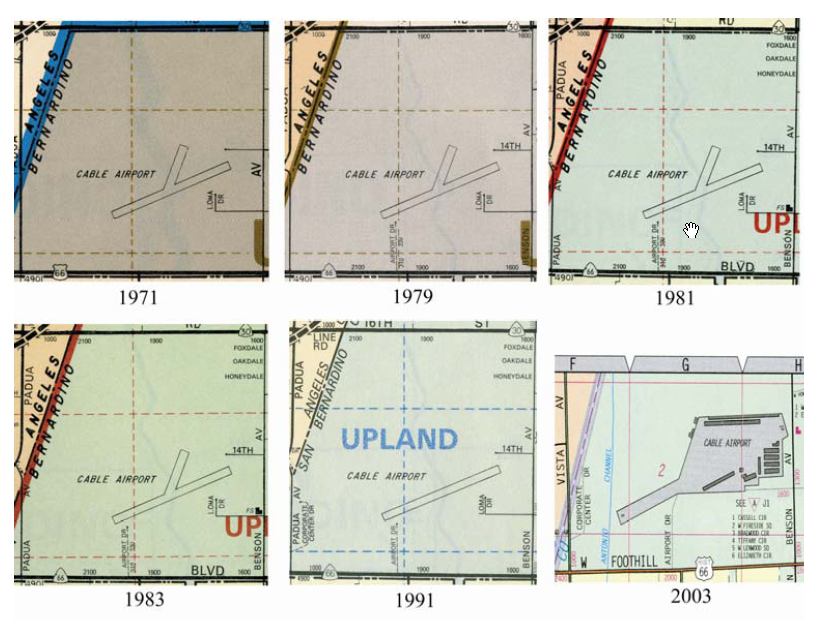
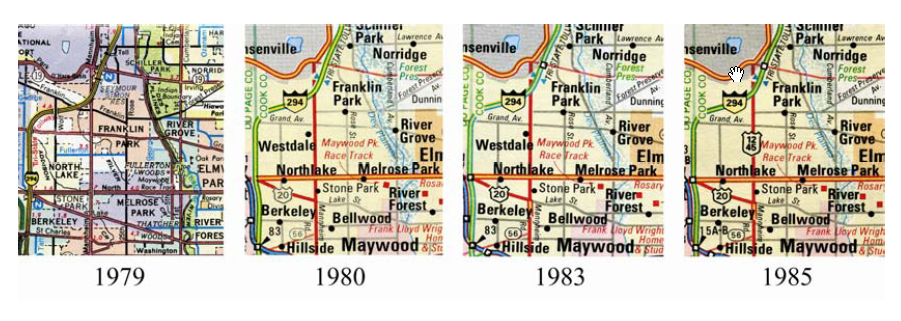
DIME and TIGER
1970 censusDual Independent Map Encoding1980 censusblocks as polygons
street segments as arcs
intersections as nodes
2D perspectiveevery polygon bounded by arcs
every arc terminates in nodes
checks on consistency
Topologically Integrated Geographic Encoding and Referencingjoint project of the Bureau of the Census and the US Geological Surveystimulus to industry1:24,000 in urban areas
1:100,000 in rural areas
importance of accuracytraps to protect copyright
Maps
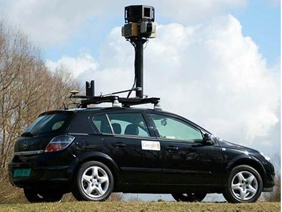
Streetview
routing for pedestrians
indoor 3D routing?
open-source alternatives
volunteered content
Google MapMaker
data acquisition
TIGER
air photos
GPS tracks
individuals
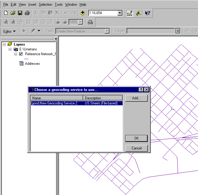
Geocoding
translate street address into coordinatesGeocoding services in ArcGISTIGER has address rangesProblem: find the latitude and longitude of 950 West Broadway, Columbia MOHere are some records from that database:
12901900006711 A Broadway W A40 600 698 601 699
6520365203 292901901902502509300930 6 7 252 553
9234550038951400 923470003895160012901900006712 A Broadway W A40 700 798 701 799
6520365203 292901901902502509300930 6 7 253 554
9234700038951600 923489003895180012901900006713 A Broadway W A40 800 898 801 899
6520365203 292901901902502509300930 6 7 253 556
9234890038951800 923503003895190012901900006714 A Broadway W A40 900 998 901 999
6520365203 292901901902502509300930
9235030038951900 9235270038952200Procedure:
1. search the TIGER file for Boone County, MO for features with the name "West Broadway" or equivalent (W. Broadway, Broadway W. etc)how to express TIGER in UML?note problem with lack of standard name syntax2. find the record that lists the address range which includes address 950:get about 30 matches for the length of W. Broadway
record #6714 covers the block from Greenwood to West Blvd, and includes the following data:3. determine the coordinates of number 950:longitude 92.3503 to 92.3527 - .0001 degrees longitude is about 9m on the ground - block is about 216m longlatitude 38.9519 to 38.9522
ZIP code 65203 on both sides
census tract 6 on the left side, 7 on the right
address ranges 900 to 998 on the left, 901 to 999 on the right
no shape points, so we assume the block is straight
assume that the houses are evenly spaced along the street, and that the full range of addresses is used (this is not necessarily a good assumption, but it's the best that can be done without more information)longitude is: 92.3503 + {(950-900) * (92.3527-92.3503) / (998- 900)} = 92.3515
latitude is: 38.9519 + {(950-900) * (38.9522-38.9519) / (998- 900)} = 38.9521
note that the results are given to the same precision as the block endpoints, that is, to about 10m
we could have calculated more digits, but they would have been meaningless given the accuracy of the inputs (the database was built from 1:24,000 mapping)
TIGER is good enough for geocoding
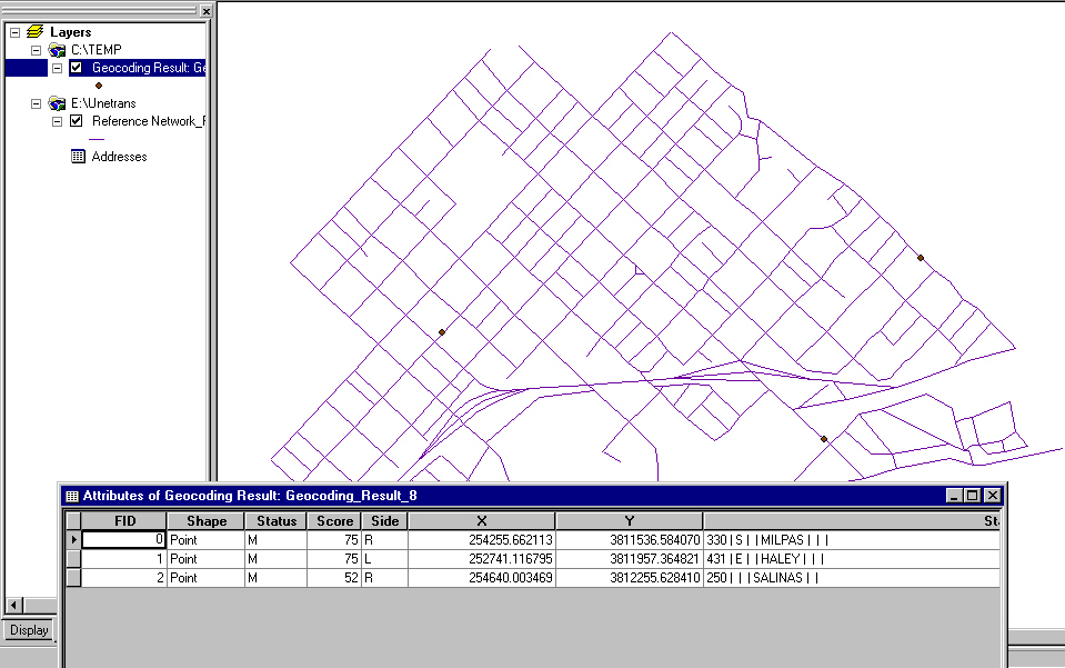
define an address locator in ArcCatalog with propertiesNavigationusing a shapefile with streets and address rangescreate a table of addressesgeocode in ArcCatalog or ArcMap
get summary resultsinteractive resolution of difficult casesdisplay results
TIGER is good enough for simple navigationOther applicationsMapQuest site
Intelligent Transportation SystemsFinding locationsinformation services that help move traffic faster911
routing emergency vehiclesmaintaining inventoriessignals, signage
pavement management
icing
mowing
evidence for lawsuits
coordinates and GPSOnstar, police accident reportinglinear referencingdistance along route from landmark
120m west of Patterson on Hollister
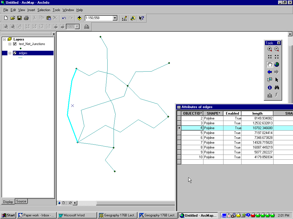
How to represent the continuous network?
break it into discrete piecesAttributes of a street link or edgestretch of street between adjacent intersections
"links" "edges" "segments" "blocks"State between Victoria and Sola
State is ~50 records rather than 1
opportunity for typing errors
what if a new intersection is added?
break an existing record into 2what defines an intersection?at grade?
laneways?
LPOLY, RPOLY?Attributes of an intersection or junction
FNODE, TNODE?
geometryshape pointslength
traffic direction
lane count
traffic density
obstruction?
slope
geometryLinks plus intersections = "link-node" structure
lights?
stop signs?
turn restrictions
traffic circle?
at grade?
what's missing?The turntable
intersection IDPathological cases
from link to link
restrictions
radius
interrupted median dividers
traffic circles
complex intersections
bizarre street numbering
dealing with lanes
new ITS applications
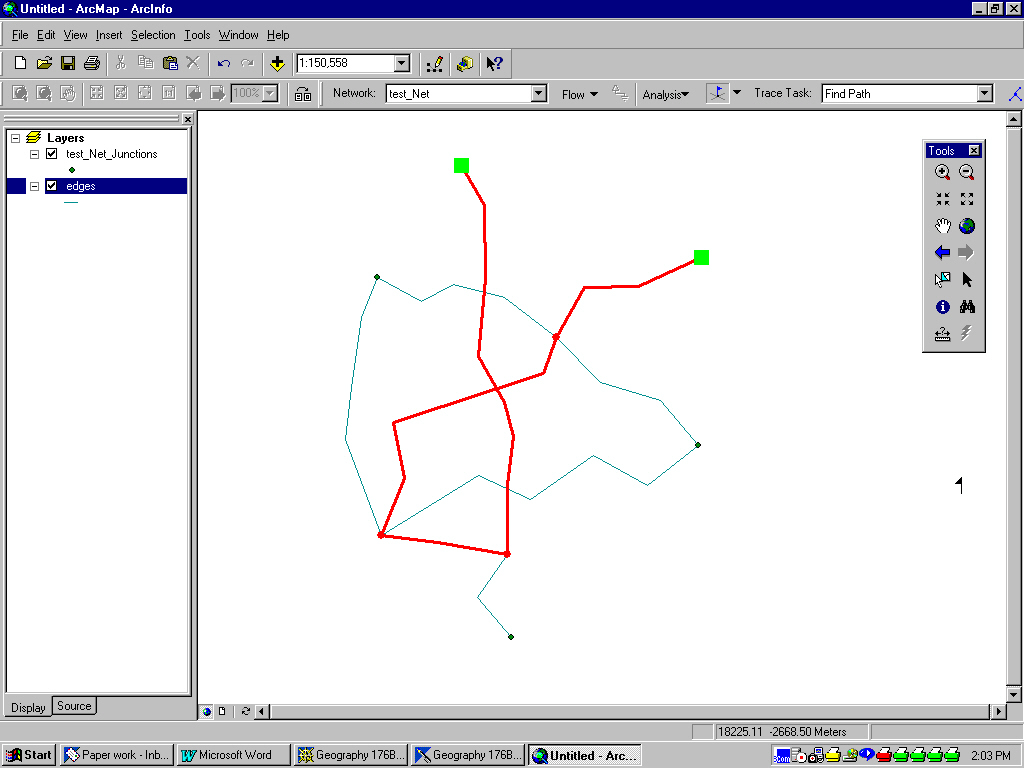
Network
a view of infrastructurea collection of edges and junctionstransportation, utilities
water, gas, telephone, rail, road
specialized features that connect
support network functions
tracing