|
Remote Sensing (Geog 115B) [Winter]

A basic understanding of the acquisition and nature of satellite imagery and the tools required to process data from remote sensing systems. Topics include spectral and spatial enhancement, image classification, geometric and radiometric correction, and change detecton with emphasis on applications. Lab: Analysis of Landsat, SPOT, and ASTER digital image data using image processing software (ENVI). We work to answer questions regarding landcover change (agricultaral impact, deforestation), urbanization, glacial-retreat rates, and effects of rainfall storms on hillslope processes.
Note: Files are password protected. Use the username and password given out during class.
Syllabus
[Lab exercises and lectures are available online and accessible only via a password.]
Exercises and Manuals
Introduction to Remote Sensing
Lab Exercise 1: Introduction to Image display and enhancement - assignment 1/06/14
Lab Exercise 1: Landsat data (zip'ed)
Lab Exercise 1: Quickbird data (zip'ed)
Lab Exercise 1: MODIS data (zip'ed)
Lab Exercise 2: Spectral Transormation - assignment 1/13/14
Lab Exercise 2: Spectral Transormation - data (zip'ed)
Lab Exercise 3: Active Remote Sensing I: Lidar - assignment 1/27/14
Lab Exercise 3: Radar data enhancement, processing, and analysis - data (zip'ed)
Lab Exercise 4: Active Remote Sensing II: Radar - assignment 2/03/14
Lab Exercise 4: Active Remote Sensing II: Radar - Excel Spreadsheet
Lab Exercise 5: Supervised Classification and accuracy assessment - assignment 2/10/14
Lab Exercise 6: People and Pixels: Land use change in the Amazon - assignment 2/24/14
Lab Exercise 6: People and Pixels: Land use change in the Amazon - data
Lab Exercise 7: Spectral mixing and unmixing of sediment in water - assignment 3/03/14
Lectures (PDFs and Powerpoints with voice over)
Movies including powerpoint and voice over are in Quicktime, Ipod and Ipad format. When viewing the powerpoints on a laptop computer, use the MP4 version.
<<
|
|
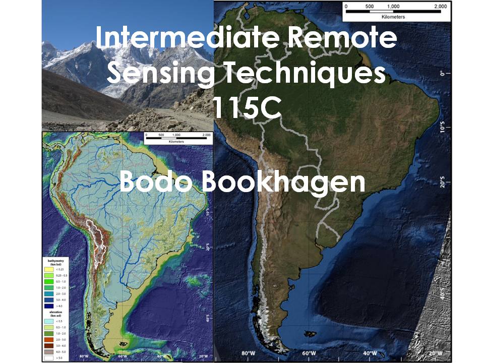
Remote Sensing (Geog 115C) [Spring]
Examines information extraction and radiative transfer relevant to remote sensing, focusing on applications for environmental monitoring and natural resource management. Lab exercises develop skills for advanced processing of satellite data, including georeferencing, orthorectification, linear transforms, image correction and noise removal, advanced change detection, and image-cross correlation techniques. Emphasis is put on group projects where students apply advanced remote-sensing methods and show their work during a presentation or poster.
Syllabus
[Lab exercises and lectures are available online and accessible only via a password.]
Exercises and Manuals
Data (Landsat, ASTER, SRTM, and other)
Lectures (PDFs)
<<
|
Quantitative Geomorphology (Geog 137 / 237) [Fall]
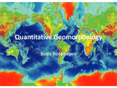
Basic quantitative understanding of processes shaping the Earth's surface. In-depth evaluation of hillslope diffusion, mass wasting, and fluvial processes. Applications of quantitative methods are emphasized throughout the class. Laboratory projects are designed to provide an understanding of various isotopic, physical, and remote sensing datasets.
The class is very well suited for Geography, Geology, and Environmental Studies students interested to learn how the Earth is being shaped. Emphasize of this class is put on the lab sections where we work with Matlab and ArcGIS.
Note: Files are password protected. Use the username and password given out during class.
Syllabus 2013
Exercises and Manuals
Useful Geomorphology Books
Lab Exercise 1 (09/30/13): Introduction to Matlab - assignment
Lab Exercise 1 (09/30/13): Introduction to Matlab - sample data (zip'ped)
Lab Exercise 1 (09/30/13): Sample Matlab command file (updated Sep-30-2013)
Lab Exercise 2 (10/14/13): Geomorphology of Earth and Mars - assignment
Lab Exercise 2 (10/14/13): Geomorphology of Earth and Mars - sample data (zip'ped)
Lab Exercise 2 (10/14/13): Sample Matlab command file
Lab Exercise 3 (10/21/13): Atmospheric and Earth's Surface Interactions - assignment
Lab Exercise 4 (10/28/13): Hillslope transport - assignment
Lab Exercise 4 (10/28/13): Finite scarp (analytical solution #2) - Matlab example
Lab Exercise 5 (11/04/13): Specific Stream Power - assignment
Lab Exercise 5 (11/04/13): Specific Stream Power - data (zip'ped)
Lab Exercise 5 (11/04/13): Matlab example command file (11/04/13)
Lab Exercise 6 (11/25/13): Using a lidar DEM in a Matlab and ArcGIS environment - assignment
Lab Exercise 6 (11/25/13): Force Balance for the Factor of Safety calculation
Lab Exercise 6 (11/25/13): Example Matlab Command File (11/25/13)
Lab Exercise 6 (11/25/13): Miscellaneous (Sinmap manual, Matlab m files)
Lab Exercise 6 (11/25/13): Lidar 1-m DEM - TIFF file (zip'ped) for Matlab
Lab Exercise 6 (11/25/13): Lidar 1-m DEM, flow accumulation - TIFF file (zip'ped) for Matlab
Lab Exercise 6 (11/25/13): ArcGIS Map Package (overview file)
Lab Exercise 6 (11/25/13): ArcGIS Shapefile with streams derived from 1-m lidar DEM
Lab Exercise 6 (11/25/13): ArcGIS Map Package (watersheds 0 to 5)
Lab Exercise 6 (11/25/13): ArcGIS Map Package (watersheds 6 to 10)
Lab Exercise 6 (11/25/13): ArcGIS Map Package (watersheds 11 to 15)
Lab Exercise 6 (11/25/13): ArcGIS Map Package (watersheds 16 to 20)
Lab Exercise 6 (11/25/13): ArcGIS Map Package (watersheds 21 to 25)
Lab Exercise 6 (11/25/13): ArcGIS Map Package (watersheds 26 to 29)
Lectures (PDFs)
<<
|
Analytical Methods in Geography (Geog 210A) [Fall]
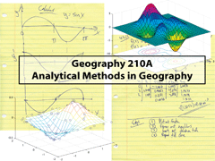
Learn to cast a problem in mathematical terms and learn several methodologies to solve scientific problems. Develop an analytical intuition and use Matlab to tackle problems. The lectures are problem based and this class will emphasize many practical examples.
The class is intended for first-year graduate student in Geography, Geology, and Environmental Studies students interested to sharpen their quantitative skills, develop an analytical intuition, and learn problem-solving methodologies. Emphasize of this class is put on practical examples using standard mathematical methods and the computer package Matlab.
Note: Files are password protected. Use the username and password given out during class.
Syllabus
Exercises and Manuals
Homework / Exercise 1 (10/01/12): Working with Matlab and Functions
download an Introduction to Matlab (pdf)
download Matlab Demonstration (function), plotdemo.m
Homework / Exercise 2 (10/07/12): Differential Calculus 1: The Derivative
Homework / Exercise 3 (10/15/12): Differential Calculus 2: Applications of Derivatives
Matlab example for log-log plots
Matlab Example for exponential functions
Homework / Exercise 4 (10/22/12): Differential Calculus 3: Trigonometric Functions
Homework / Exercise 5 (10/29/12): Differential Calculus 4: Integrals
Matlab example for Question 8 (draining party ball)
Homework / Exercise 6 (11/05/12): Functions of several variables
Matlab example for Question 7: solving partial derivatives with symbolic toolbox
Matlab example for Question 9: numerically solving partial derivatives
Homework / Exercise 7 (11/14/21): Linear Least Square Fitting
Homework / Exercise 8 (11/19/21): Ordinay Differential Equations (ODEs)
Matlab example for solving a population growth ODE
Matlab example for solving a population growth ODE (function definition)
Matlab example for solving a system of ODEs (predator-prey relationship)
Matlab example for solving a system of ODEs (function definition)
Matlab ODE example for solving question 4 (logistic population growth)
Matlab ODE example for solving question 4 (function definition)
Homework / Exercise 9 (11/26/21): Systems of ODEs
Final Exam (12/10/12) due to 12/13/12 12:00 noon
Final Exam (12/07/09) due to 12/11/09 12:00 noon
Lecture Notes (PDFs and Matlab m files)
<<
Geography 295 - Geomorph Reading Seminar
What makes the Critical Zone critical?
(O.A. Chadwick and B. Bookhagen) [Fall]
The critical zone reaches from the top of the vegetation canopy through the vadose zone. It links disciplines as disparate as ecosystem ecology, geomorphology, biogeochemistry, soil science and hydrology. It has been defined by the National Research Council and the National Science Foundation in order to foster Earth surface research that explicitly crosses disciplinary boundaries. We will focus primarily on empirical and modeling papers that attempt to link hillslope hydrology, geomorphology and weathering processes into an integrated understanding of how the Critical Zone functions.
Reading list and more information
<<
|