Publishing
how to publish the results of a GIS project
for general use
on the Web
service model
providing a Web-based service
discovery model
sharing results
compare conventional academic publishing
journal articles
books
more interactive
more collaborative
little academic credit
not refereed by peers
compare blogs, YouTube, MySpace
put ppt online
using blog or similar environment
on your own server
public_html in home directory
industrial strength
ArcIMS
programming with ArcObjects
cost
freeware
ArcGIS Server
cost
GUI layer: GeoExt, OpenLayers, ExtJS
Service layer: MapServer hosting OGC Web Map Services
Data source: base map OpenStreetMap Mapnik tile server, other layers as WMS services on MapServer
easier options
interface to a mapping environment
MapQuest
Google Maps
published Application Program Interface (API)
some good sources:
Google Earth
published API
KML = Keyhole Markup Language
a variant of XML (eXtensible Markup Language)
scripts with a .kml or .kmz extension
execute Google Earth
placemark example
<?xml version="1.0" encoding="UTF-8"?>
<kml xmlns="http://earth.google.com/kml/2.1"> <Placemark>
<name>Simple placemark</name>
<description>Attached to the ground. Intelligently places itself at the height of the underlying terrain.</description>
<Point>
<coordinates>-119.845255,34.415597,0</coordinates>
</Point>
</Placemark> </kml>ground overlay example
<?xml version="1.0" encoding="UTF-8"?>
<kml xmlns="http://earth.google.com/kml/2.0">
<GroundOverlay>
<name>Maynooth: 03192a</name>
<description>Ortho of Maynooth: o3192a</description>
<LookAt>
<longitude>-6.60680258610226</longitude>
<latitude>53.37743673129668</latitude>
<range>2503.487813939154</range>
<tilt>-3.028649819793973e-011</tilt>
<heading>-0.003052471654929496</heading>
</LookAt>
<color>fcffffff</color>
<Icon>
<href>http://www.geog.ucsb.edu/~good/176c/o3192-a.tif</href>
</Icon>
<LatLonBox id="May_o3192a">
<north>53.38397666674805</north>
<south>53.37054654900258</south>
<east>-6.588548874695226</east>
<west>-6.618478198929605</west>
<rotation>-0.7544672313921043</rotation>
</LatLonBox>
</GroundOverlay>
</kml>linking to kml or kmz
add link to Google Earth
getest.kmz
send someone the instructions
mashing large data sources
shapefiles
ArcMap layer-to-kml tool
commercial, various versions
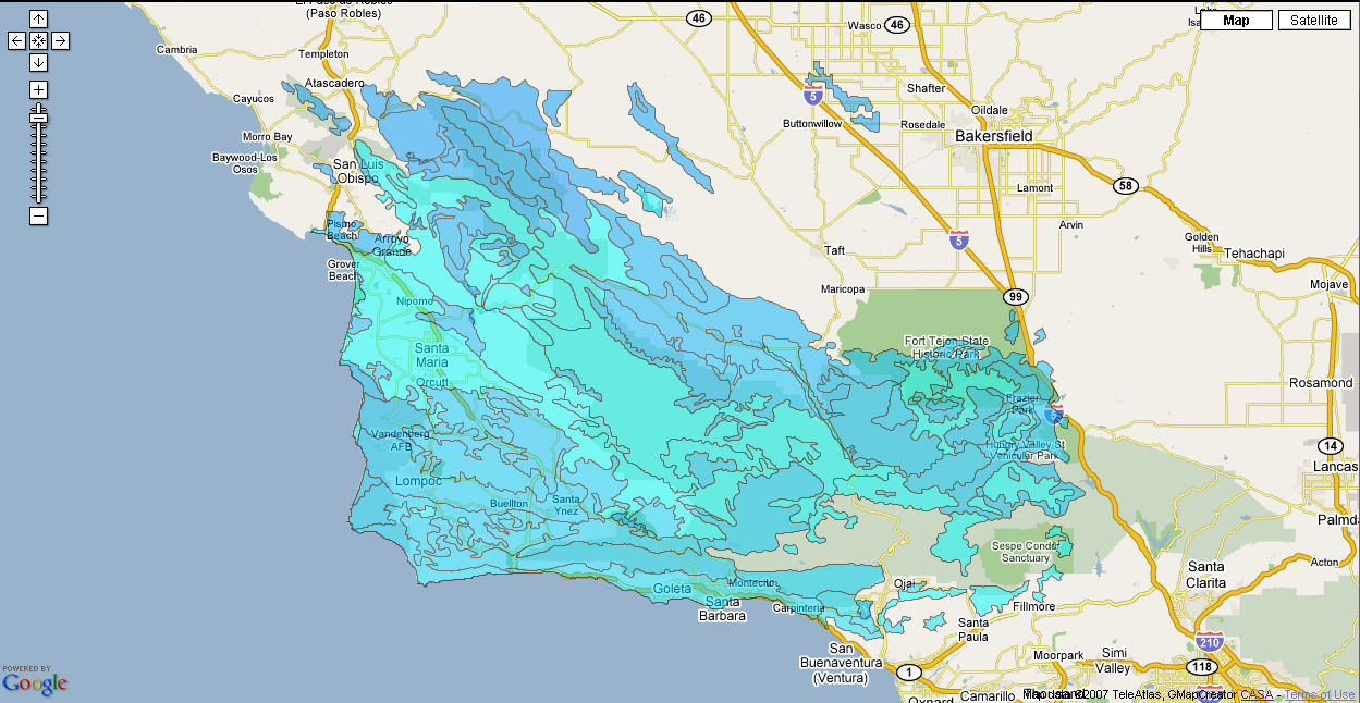
example
downtown LA schools and buffers
exports to Google Maps
UCL CASA product
note that .prj file is required